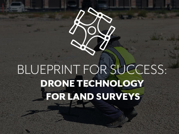
Drone Technology: Taking Land Surveying to New Heights
Blueprints for Success: Staying Abreast Technological Advancement
Staying on top of cutting-edge technologies is paramount to achieving precision, efficiency, and superior results in the field of land surveying. At FOCUS Engineering and Surveying, drones have revolutionized the way we approach our surveying projects. Drone technology has emerged as an integral asset, providing several advantages that significantly enhance our land surveying capabilities.
Drones Provide Increased Accuracy in Land Surveying
Drones have proven to be indispensable in the establishment of ground control points for accurate survey measurements. First, we set aerial control targets on the ground then deploy drones. From there, we can efficiently establish ground control points over expansive terrains, ensuring precise referencing of survey data—typically within 1″–2″ tolerances. This not only enhances the accuracy of our surveys but streamlines the overall data collection process.
Drones Create Cost and Time Savings in Land Surveys
Surveying vast, large parcels or difficult terrain has traditionally been a complex and time-consuming process. Drones transcend these limitations, offering an efficient, rapid, and cost-effective solution. Equipped with advanced imaging technology, drones can cover expansive areas efficiently, providing detailed surveys without the logistical challenges associated with traditional on-the-ground methods. This efficiency translates to both time and cost savings for our clients.
Drones Provide Comprehensive Aerial Footage
Visual data is a powerful storytelling tool, and drones provide an unparalleled bird’s-eye view. Aerial drone footage allows us to create visual narratives of project sites, showcasing evolving topography at any phase—from groundbreaking to completion. This provides stakeholders with a comprehensive understanding of the project’s progress and context.
Incorporating drone technology into our land surveying services—whether it’s an ALTA, boundary, or topographic survey—has proven to, literally, elevate our services. The advantages of utilizing drones in land surveying are clear: enhanced precision, increased efficiency, and compelling visual data, to name a few. Our commitment to leveraging innovative tools, like drones, helps us provide our clients with surveying solutions that exceed expectations.
