Our projects in "Multi-Family" category

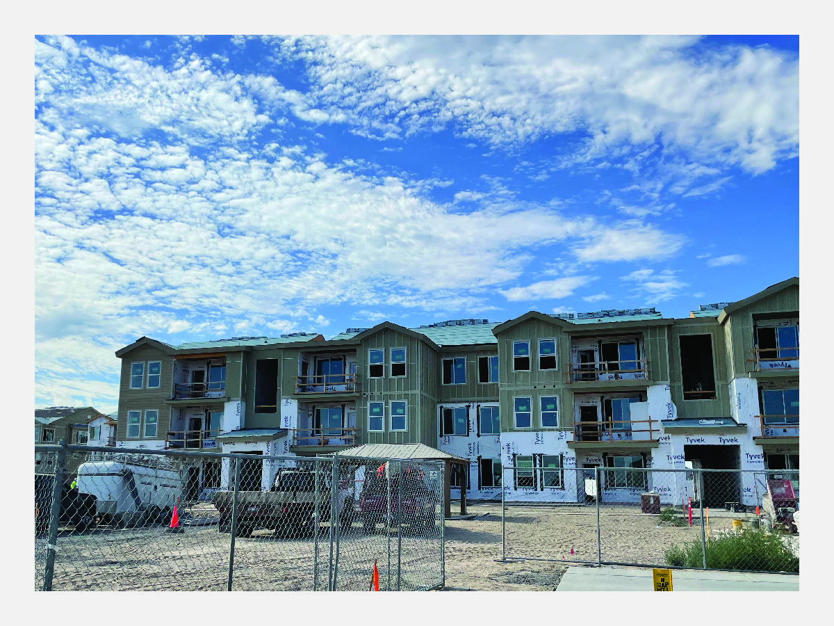
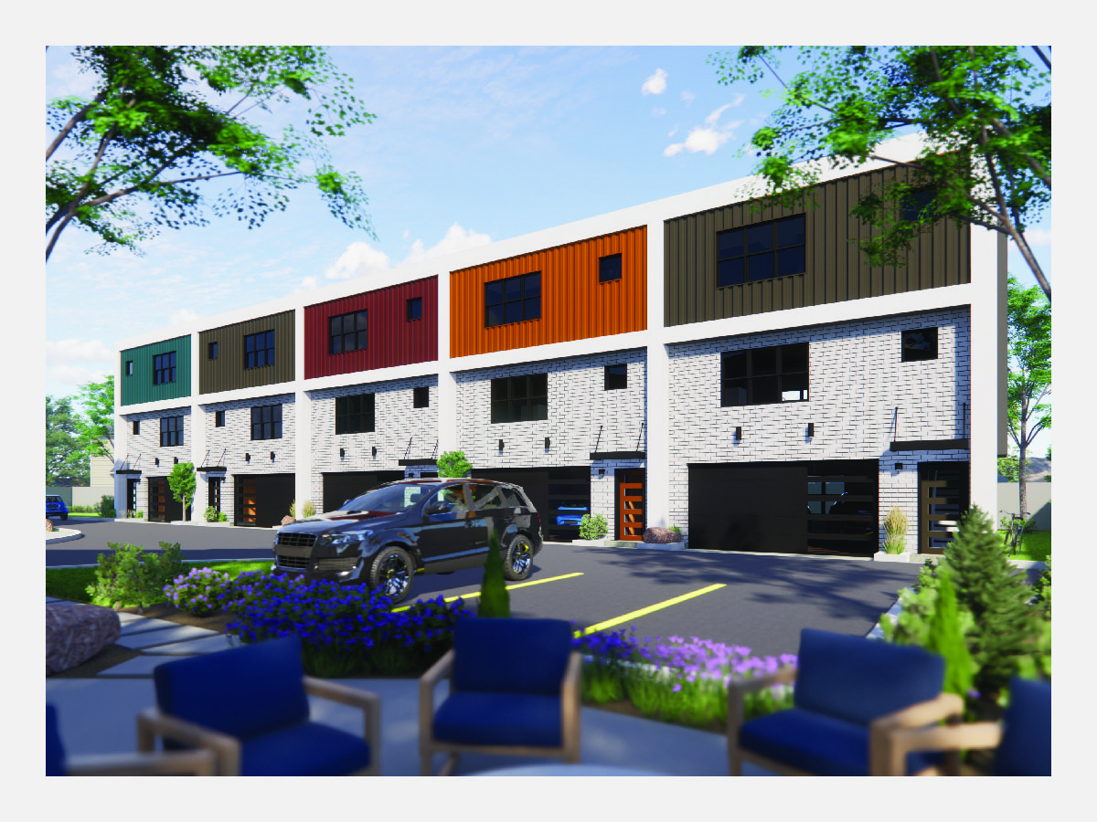
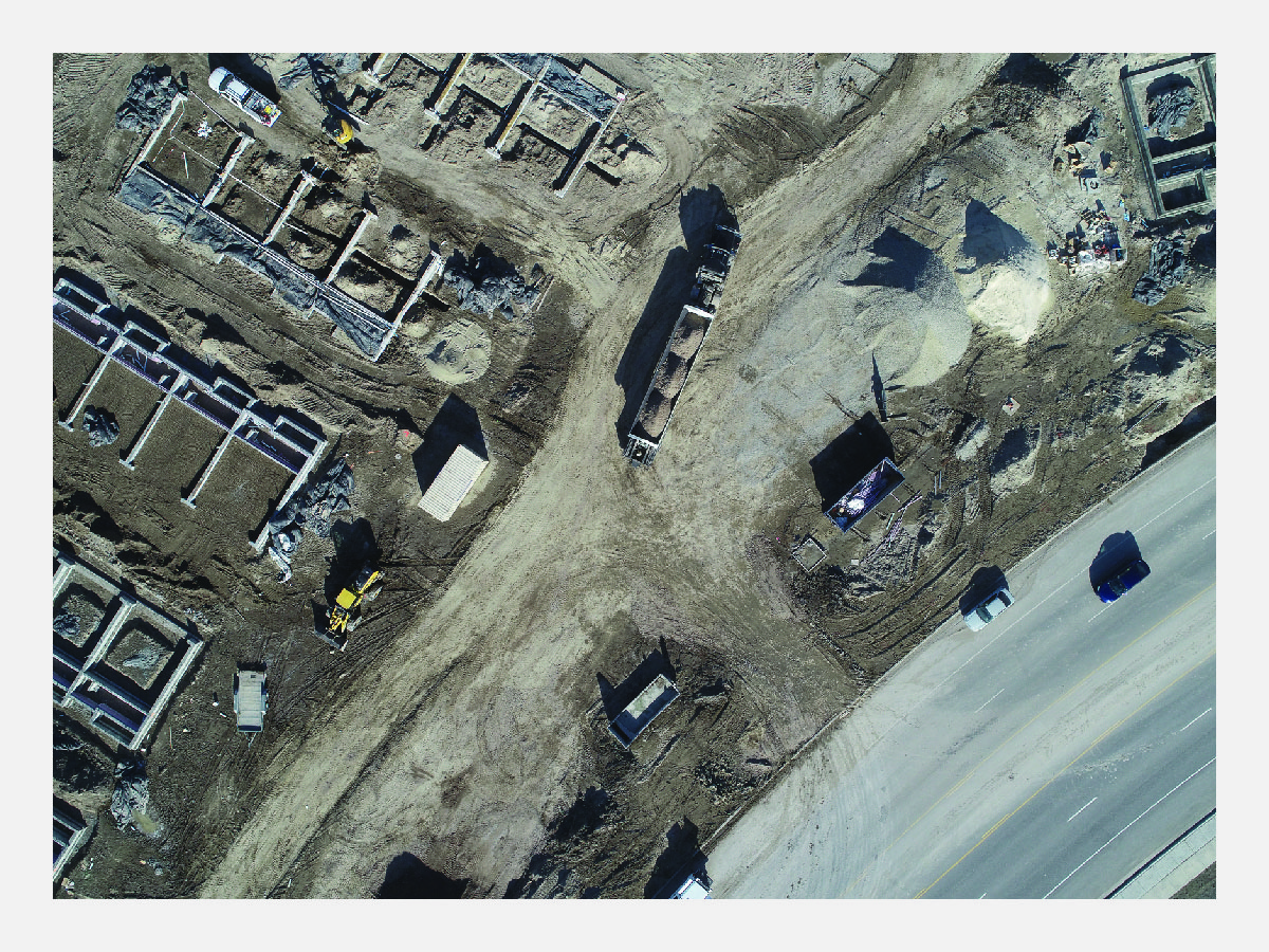
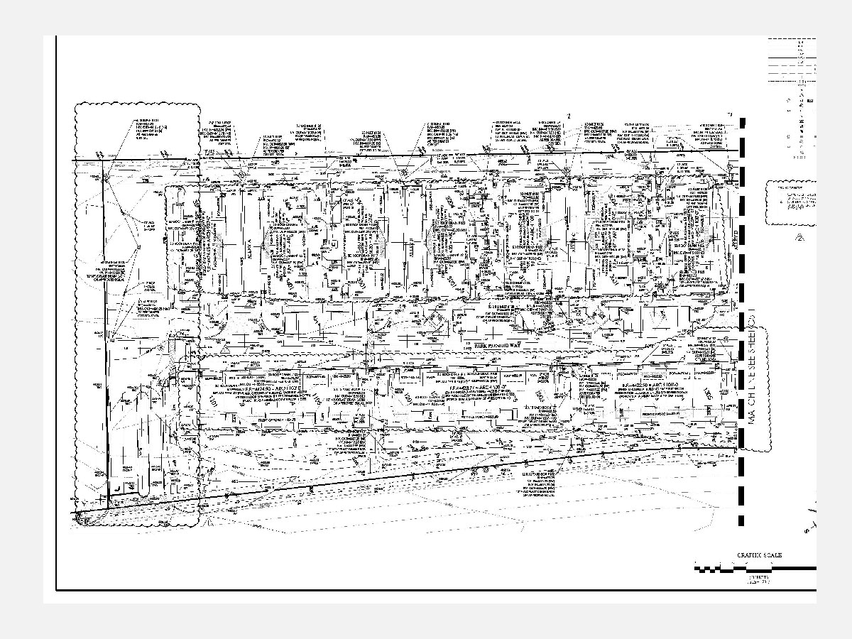
Latitude 42 Apartments – Twin Falls, ID

Latitude 42 is an apartment complex with seven, three-story buildings comprising a total of 130 units and a clubhouse. It also features a playground, pickleball court, and a dog park. 
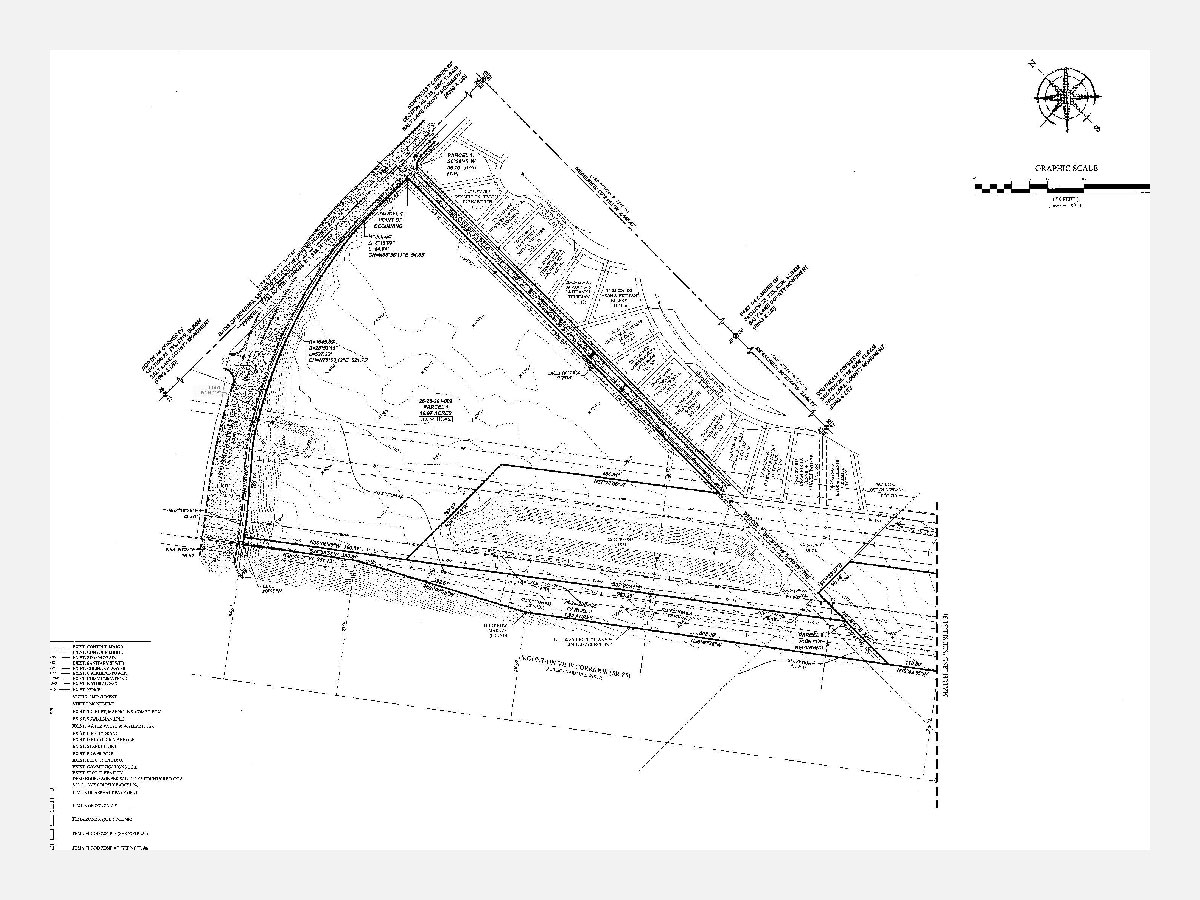
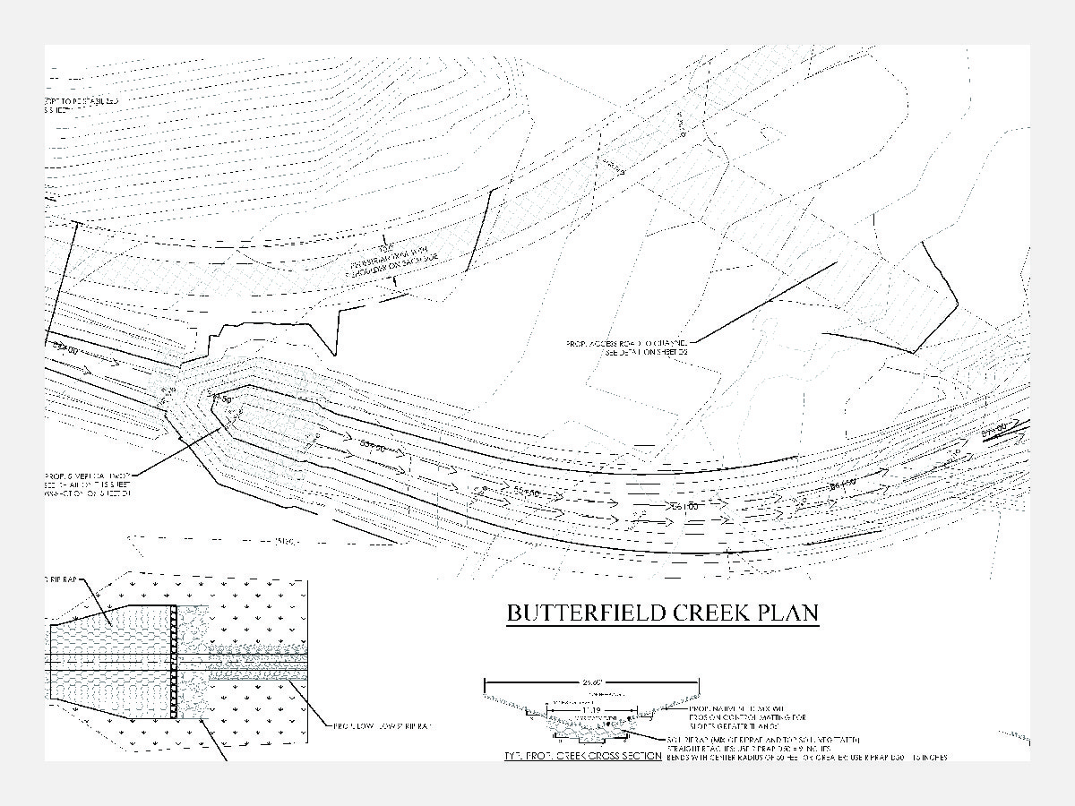
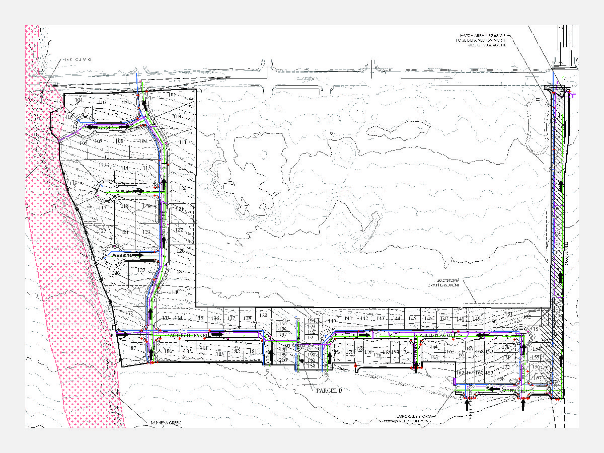
The complex’s extensive footprint posed a challenge in meeting the city’s water retention requirements. The civil engineering team considered various options to address the challenge, including using a StormTech drainage system. However, after consulting with the client, it was determined that a seepage pit would provide the best solution.

Diamond Peak Townhomes – Nampa, ID

The Diamond Peak townhome community is comprised of 16 three-story, 2,165-square-foot units. The site’s dimensions and location required multiple retaining walls and made the design of the sewer system challenging. Retaining walls had to be designed to be effective, yet narrow enough to allow sufficient distance between the walls and the buildings for adequate yard space. The site’s sewer system, while designed by FOCUS engineers, will be built as part of the neighboring site due to the systems location. This required coordination between FOCUS, Diamond Peak, and the neighboring site to ensure the system was designed and built properly to meet all parties’ requirements.

Latitude 96 Apartments – Caldwell, ID

Latitude 96 development is located along east Ustick Road in Caldwell, Idaho. This 96 apartment development is located off of Ustick Road which has plans for a major widening of the main arterial road. The north portion of the property has a designated 25’ landscape buffer to enhance the main frontage along the road corridor. The developments main center core of the site provides amenities for all of the residents and includes: a 2,000 sf clubhouse, playground, pavilion and picnic tables, and open lawn space. The city and the client FSONE development both collectively agreed that providing 4 electric vehicle charging stations would be a great benefit for the growing users of electric vehicles. A variety of evergreen and deciduous trees and shrubs are proposed along the perimeter of the site to provide an enhanced planting buffer on site. The development is adjacent to many businesses and has great walkability and an 8’ wide trail throughout the development. There is one covered parking space allotted for each resident and provided parking for guests. The apartment units have a great variety of color and materials on the building facades that lend to a very aesthetic look. The planting palette chosen for the site compliments the building materials and creates a cohesive and appealing place to reside.

Mountain View Corridor Survey- Herriman, Utah

In between Mountain View Corridor and subdivision developments to the east is an existing utility corridor that includes pipe, fiber optic, power and sewer lines, as well as storm drain pipes and a large detention pond facility. The utility companies had multiple easements, agreements, and fee titles to their property to facilitate the utilities. FOCUS utilized information available from the County Recorder, Surveyor’s Office, Utah Department of Transportation, and a current title report to locate visible evidence of the existing utilities. FOCUS plotted the recorded information and descriptions of all easements, agreements and deeds. This included showing the easements in relation to the actual utility locations with surveyors’ notes on the title report exceptions.

Jones Ranch Survey- West Jordan, Utah

FOCUS prepared a boundary, topography, and infrastructure survey for the 592-acre master planned development in West Jordan known as Jones Ranch. This is included topography using drone technology to capture aerial imagery for the entire site. As part of the Jones Ranch development the client is working with West Jordan City to provide a 4 MG water tank, pump station, and transmission lines. FOCUS provided the utility and infrastructure mapping, as well as the topography for the tank site, pumpstation site, and transmission line corridors.

Residents at South Point Drainage Plan- Draper, Utah

FOCUS designed a storm water collection system & detention pond for Residents at Southpoint—a 34-acre, multiphase, mixed-use development in Draper consisting of townhomes, apartments, and retail shops. In order to streamline development, avoid storm drain concerns, and maximizing available space for subsequent phases of the project, FOCUS recommended a single regional pond serving the entire development be built as part of phase one. The pond is a half acre in size and holds 77,000 cubic feet of water. Once all phases are complete, the 36” storm drain mainline will be approximately 4,200 feet in length, which is about three-quarters of a mile.

Century Pinnacles Park- Eagle Mountain, Utah

Century Pinnacles Park is a six-acre, public open space designed in conjunction with the Century Pinnacles subdivision in Eagle Mountain. The park boasts a core area of play elements and site furnishings organized in a compelling radial design. There are four secondary elements surrounding a large focal playground structure, including a pavilion, restroom, swingset, and zipline. Each element is intentionally placed in a way that compliments the radial pattern. These secondary elements are bordered by turf sod and formal shrub beds to create rhythm in the design and visual interest. As with many creative works, the initial park design was developed through a collaborative process using pens and trace paper and refinded over several months into the the final park design we have today. One challenge of this project was implementing the stormwater management system in a way that would be both functional and attractive. FOCUS also designed a comprehensive irrigation plan for the park.

Herriman Historic Park- Herriman, Utah

FOCUS contracted with Herriman City to provide a design for a new city park that highlights the history of Herriman. Land development in Herriman continues at a rapid pace, and it was important to the city to set aside a property that could highlight aspects of its original history. The focal point of the park is a historic home from the late 1800’s, which is planned to be restored in conjunction with construction of the park. The FOCUS team worked closely with the city to provide conceptual designs and ideas consistent with the desires of the city and residents. Working within the constraints of topography, limited budget, historical elements, and public feedback, FOCUS was able to create a site layout and landscape design that is functional, historically sensitive, and meets the needs of the city and surrounding residents. FOCUS also designed a comprehensive irrigation plan for the park.

Butterfield Creek- Herriman, Utah

As part of the Hidden Oaks master planned development in Herriman City, FOCUS re-designed approximately 1.7 miles of Butterfield Creek to contain the 100 year flood plain with the creek. Due to farming operations and previous flooding, the creek was non-existent through the property, creating flooding potential and lack of control for historic flows. FOCUS designed a new open channel that would contain the 100 year flow throughout the site. The channel was designed with a low flow section for normal storm events and a high flow section for major events. The channel also included 4 culvert sections for future street crossings and 12 open-channel drop sections to manage channel velocity within the recommended range. FOCUS coordinated approval through the city, county, and state, and also assisted in gaining approval through FEMA.

Jones Ranch Drainage Plan- West Jordan, Utah

As part of Jones Ranch, a 592-acre master planned community located in West Jordan, FOCUS has been working hand in hand with West Jordan City public works and engineering to provide a conceptual drainage plan for the area. Jones Ranch is bisected east and west by approximately 1.8 miles of Barney’s Creek. FOCUS has worked with the city to provide a conceptual drainage design for the master planned development that includes some re-construction of Barney’s Creek, adding regional detention ponds, upgrading an existing regional pond to handle additional capacity, and coordination with state and county officials.